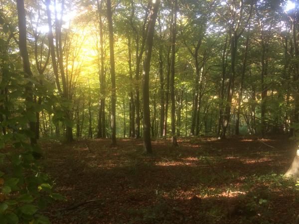
Wendover Woods (F.C.)
Wendover Permanent Orienteering Course
Travel Directions
From the B4009 (formerly the A4011), two miles north of Wendover and two miles west of Tring, turn southeast up the minor road signposted ‘St Leonards’. Car access to the Forestry England road is in 300m. Follow brown signs for Wendover Woods. Continue along the forestry road for about a mile, to the main car park (grid reference SP 889090). The car park is managed by an ANPR system. Please pay for your parking before you leave at the pay stations by the Information Point. There is also a car park about 100m from the junction of the forestry road with the road to St Leonards (grid reference SP 897082).
Where to start
The start is about 10m south-east of the cafe. The start is shown on the map by a purple triangle and on the ground by a wooden notice surrounded by benches.
The Controls
The centre of each purple circle on the map shows the position on the ground of one of the controls. The controls are numbered posts about one meter high, marked with a red and white square. The aim is to find these and copy the code letter from each post into the appropriate box of the ‘control card’ on the back of the map, shown opposite, as proof of your visit.
The Courses
You are free to visit as many or as few controls as you wish, in any order, but you may find it more interesting to try one of the suggested courses below.
Note: this is a working forest and changes are to be expected within the life of the map. These are unlikely to cause major difficulty on any of the courses, but keep clear of any forestry operations for your personal safety.
The Map
The map tries to describe the runnability through the forest. Fast runnable areas are shown as white; shades of green represent varying levels of runnability, with light green faster than dark green. Green stripes usually mean brambles. Dark green, medium green or close-spaced green stripes are bad - avoid these areas. Yellow reflects open or rough open. Do have a good look at the legend on the side of the map to see what the symbols and colours represent.
Suggested Courses (measured distances return to the Start).
Course A 1, 2, 3, 4, 5 2km Easy
Course B 1, 2, 9, 8, 3, 5 4km Steep but technically easy.
Course C 4, 20, 18, 12, 7, 5 4km Boddington Hill, moderate.
Course D 6, 14, 15, 13, 16 17 4km Aston Hill, moderate.
Course E 5, 10, 11, 7, 19, 12, 17 3km More challenging.
Course F All controls in any order 6km For the real enthusiast.
Further Information
When members of the public are permitted to enter Forestry England land and buildings, they do so entirely at their own risk and on condition that they will have no claim whatsoever against the Forestry England for any loss, damage or injury suffered or caused.
Youth group leaders and others wishing to arrange competitions or group exercises should contact the Forestry England Information Point, telephone Wendover 01296 696184.
This permanent course is a joint venture between Forestry England and Thames Valley Orienteering Club. Members of the club surveyed and drew the map and planned the course. Forestry England maintains the posts and financed printing of the map.
For further information about orienteering and for addresses of local clubs contact the British Orienteering Federation, British Orienteering, Scholes Mill, Old Coach Road, Tansley, Matlock
Derbyshire DE4 5FY telephone 01629 583037, or via the BOF website: http://www.britishorienteering.org.uk Alternatively contact the Thames Valley Orienteering Club website for more local information: http://www.tvoc.org.uk
Certificates
An attractive certificate specifying the number of controls you have found may be claimed from the Thames Valley Orienteering Club. Add your name and address on the back of the map and send it together with two-second class stamps to Roger Baker, ‘Ludwell’, Faringdon Road, Abingdon, Oxon OX14 1BQ.
| Control descriptions | FREE | |
| Wendover Woods | FREE |
| Control descriptions | FREE | |
| Wendover Woods | FREE |
A free map is available to download above. Maps are available from the Information Point, Wendover Woods, Aston Clinton, Wendover Tel: 01296 696184. Cost per map is £2.20.
Use the MapRunF app on your smartphone to register controls using GPS satellites.
The information on MapRunF is here on Thames Valley ORienteering Club's website.
The courses may be found in the MapRunF app under Select Events > UK > TVOC > Wendover Woods.
Courses A, B, C and E are available on MapRunF. New courses planned specifically for MapRunF are available called G (similar to Green) and H (similar to Light Green).
The maps to print out are here free from Thames Valley Orienteering Club's website.


