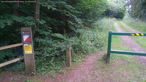
Wakerley Great Wood (FE)
Woodland is managed by the Forestry England
Safety: There is an extensive management scheme with widespread felling.
To make comments on the forest use email: Contact
Groups: to arrange a group visit make sure you have agreed your plans with the Forestry England
Forest England has access charges for groups using the woodland for competitions or large training exercises, eg a whole school class.
For further information and known issues relating to controls, please visit the Leicestershire Orienteering website. Select the known problems page.
Map updated: Winter 2016
Courses
|
Course |
Controls /Length (km) |
Suitable for |
Estimated (mins) |
|---|---|---|---|
|
Orange |
6 /2.3 |
Adult beginner confident junior |
25-50 |
Lengths of courses shown are in straight lines between controls, and the estimate of times are for someone running to someone walking. Both will vary depending on your route choice and ability.
If you are unfamiliar with Orienteering map symbols Download a Legend.
Feedback: Do let us know about any damaged or missing control points, please use our Feedback Form However our volunteers may not be able to remedy this quickly.
| Orange | FREE | |
| Safety Risk Assessment Advice | FREE | |
| Wakerley check letters | FREE |
| Orange | FREE | |
| Safety Risk Assessment Advice | FREE | |
| Wakerley check letters | FREE |


