The Outwoods
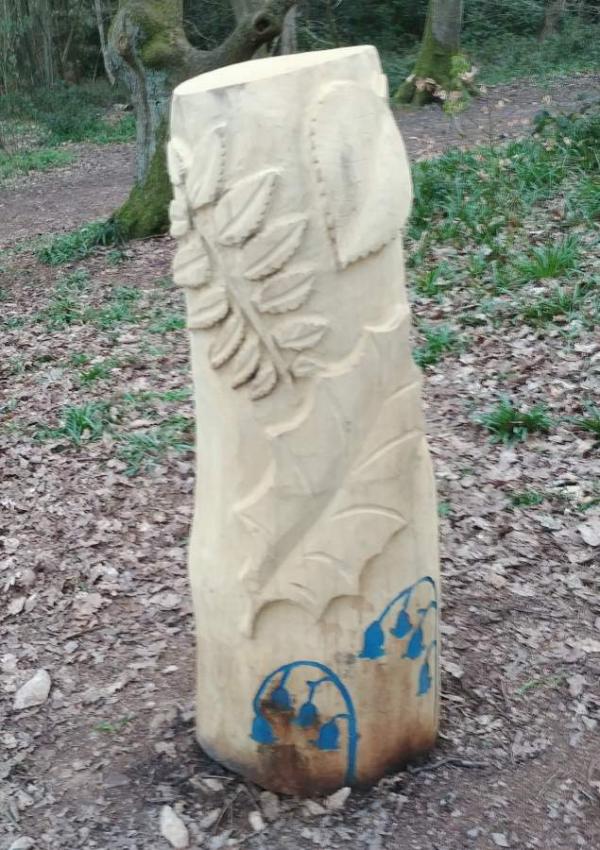
Find the plaques mainly on the walking route waymarkers.
Safety: Routes are on paths as requested by the Outwoods Management Committee. Use the safety advice sheet.
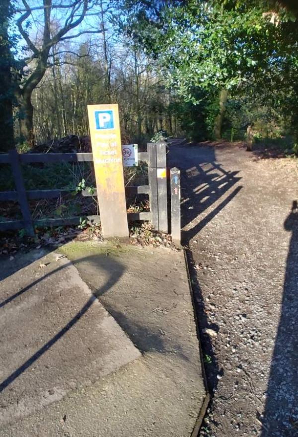
Parking: pay and display parking fee of £1 parking a day (March 2022)
Map updated: December 2021
July 2022 posts Missing: 61 (New post ordered?)
Courses
Updates to all courses Easter 2022, to use new route out of the car park.
|
Course |
Controls /Length (km) |
Suitable for |
Estimated (mins) |
|---|---|---|---|
|
White |
10 /1.2 |
Beginner most children will need shadowing |
15-30 |
|
Yellow |
13 /2.8 |
A child with some experience |
25-50 |
|
Yellow variation |
15 /3.0 |
Adult beginner /confident junior |
25-55 |
|
Score |
17 |
Adult or child |
30 |
Lengths of courses shown are in straight lines between controls, and the estimates of times are for someone running to someone walking. Both will vary depending on your route choice and ability. A Score course is to find as many as you can with penalties for lateness. Courses are of beginner standard as they avoid SSSI issues.
Groups of Beginners: The Star and Loop maps are for youth group leaders to support beginners. If plaques are missing, temporary ones need to be put in place. Use Youth Leader Risk assessment Guide to be found on the Beacon Hill Lower-car park site which should be helpful. If you have a large group, seek permission from Charnwood Borough Council as your activities may clash with works going on in the area.
Feedback: Do let us know about any damaged or missing control points, please use our Feedback Form However our volunteers may not be able to remedy this quickly.
| Check Letters | FREE | |
| Maprun White | FREE | |
| MapRun Yellow | FREE | |
| Safety Risk Assessment Advice | FREE | |
| Score 30 minutes | FREE | |
| Star & Loop Maps | FREE | |
| White | FREE | |
| Yellow | FREE | |
| Yellow variation | FREE |
| Check Letters | FREE | |
| Maprun White | FREE | |
| MapRun Yellow | FREE | |
| Safety Risk Assessment Advice | FREE | |
| Score 30 minutes | FREE | |
| Star & Loop Maps | FREE | |
| White | FREE | |
| Yellow | FREE | |
| Yellow variation | FREE |
Charnwood Borough Visitor Attractions
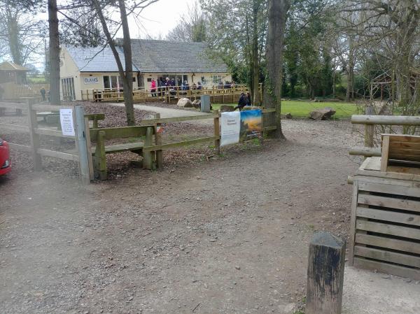
Visit Olivia's cafe, next to car park. Outwood visitor centre and cafe
Beacon Hill is further south on the same road and has more adventurous courses.
Use the Maprun app. Maprun app Garmin watch owners may wish to use the sister app MaprunG, or for Apple watches MaprunA, you will need a printed course map.
Your phone (watch) beeps when you get close to the feature (a virtual control detected by your GPS signal). Upload your results to see your position on the leaderboard.
We suggest you download a map from here but you can just use the one on your smartphone.
Results: Results Enter a time period, Country = UK and County = Leicestershire
|
Course |
Length (km)/ Controls |
Expected Time (minutes) |
Suitable for |
|
White |
1.2 km/ 11 |
15 -30 |
Beginners |
| Yellow |
2.4 km/ 13 |
20-45 | Some experience |

