The Carrs & Carr Lane Park
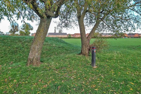
The Carrs in Warsop is a large open space, which includes the Local Nature Reserve, recreational and play areas, a mill pond and the river Meden.
This park, which was declared a Local Nature Reserve in 2005, is a former water meadow that was once common land. The park is now managed by Mansfield District Council and caters for a wide range of leisure activities.
Map updated November 2022.
Have you tried smartphone orienteering yet? A course is available at The Carrs, see below
| The Carrs & Carr Lane Park | FREE |
| The Carrs & Carr Lane Park | FREE |
There is a well-equipped children’s play area with picnic tables.
The river Meden is one of the cleanest rivers in the county and shoals of Brown Trout can be seen in its waters.
Along the river is a pleasant walk lined by mature willow trees, which links the Carrs by a footbridge to the park on Carr Lane. Here there is another children’s play area, as well as the BMX track, Skateboard Park and bowling green.
There is also ample car parking and three main entrances to the Carrs; through a car park off Church Road in Warsop, through Carr Lane Park and over a footbridge from River View.
Use the MapRun app, details are found here: What is a Virtual Orienteering Course? - Go Orienteering
Start the MapRun app when in the car park, tap Events Near Me or Select Event and browse to the
UK/Nottinghamshire/The Carrs folder.
We suggest that you download and print the POC map above that has all the control markers, but you can just use the one on your phone.
The following MapRun courses are available based on The Carrs and Carr Lane Park Permanent Course:
The Carrs POC

