Sleaford Central (Long)
This course starts close to Cogglesford Mill on East Gate and visits areas of residential housing and the central business district. It includes a number of uncontrolled road crossings within the 30 mph area, which should be executed with care.
The majority of the course and route options will be along footpaths and pavements with short stretches where you can choose to run on paths or take a more direct route over the grass However within the Sleaford Castle area the paths and most likely routes are unsurfaced and should be executed with care and inappropriate grippy footwear when it is muddy underfoot.
The course is planned at 4.0 km on the direct line but the optimum (minimum) running distance is likely to be closer to 6.0 km. There is a negligible climb.
A printable PDF map can be downloaded directly from the Lincoln Orienteering Group website.
If you are viewing this page on your phone with MapRun installed, click here to load the event directly on your app.
For a map of all public carparks in Sleaford visit this NKDC page.
Visit the LOG MapRun homepage for a full list of Lincoln and South Lincolnshire virtual orienteering courses and results #OrienteeringOnDemand #RunAnytime
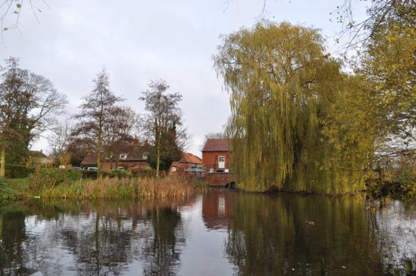
Cogglesford Mill by Ashley Dace, CC BY-SA 2.0,
A printable PDF map can be downloaded directly from the Lincoln Orienteering Group website.
If you are viewing this page on your phone with MapRun installed, click here to load the event directly on your app.
Visit Cogglesford Mill, close to the start.

