Sandwell Valley
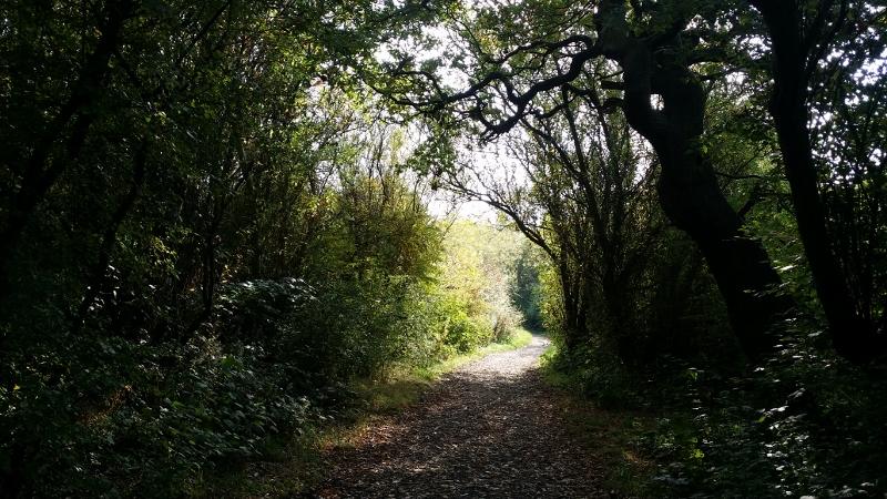
Sandwell Valley is a very varied country park, with a mix of ornamental parks (Dartmouth Park), fields, lakes and woodland with a good path network. Please do not climb fences or locked gates.
The Permanent Course has 16 controls, or checkpoints, each marked by a wooden post with a number and letter. The information sheet has three suggested courses:
- Short and easy, 2.5km in a straight line visiting 5 checkpoints.
- Moderate, 3.3km in a straight line visiting 8 checkpoints.
- Long, 6.6km in a straight line visiting 11 checkpoints.
Alternatively make up your own course to suit yourself, or see how long it takes you to find the lot!
| GPS Score course 2020 | FREE | |
| GPS Score course control descriptions | FREE | |
| GPS Score course information | FREE | |
| Permanent course | FREE | |
| Permanent course information | FREE |
| GPS Score course 2020 | FREE | |
| GPS Score course control descriptions | FREE | |
| GPS Score course information | FREE | |
| Permanent course | FREE | |
| Permanent course information | FREE |
this website. Printed maps may also be available from Sandwell Park Farm Visitor Centre. Tel: 0121 5532147
Sandwell Valley Country Park has 308 hectares of open countryside, two working farms, a huge playground, mountain bike trails and lots more. There is also an Adventure Playground, Aerial Assault Course and an RSPB nature reserve.
The main car park is accessed from West Bromwich and the Valley is easy to access on public transport and from the motorway network, being just off Junction 1 of the M5.
The course is a one-hour score course using MapRun. There are 21 controls, or checkpoints, each worth 20 points, with a penalty of 10 points a minute for a late finish.
To use MapRun, first download it from your app store. We recommend using MapRunF.
• We recommend using an armband phone holder when running.
• We recommend using the paper course map available above to navigate, not the map displayed on the app.
• You can download your chosen course in advance. If you are close to the area, click ‘Events Near Me’. Otherwise, go to: UK – West Midlands – Sandwell Valley - Sandwell Valyeyv3
• Go to the start (marked by a triangle on the map) at the north end of the car park at the start of the pedestrian path to the visitor centre, and click ‘Go to Start’.
• When your GPS detects the start, it will beep and your time will start. You will see nothing on the ground, but MapRun will detect when you are in the correct place.
• Find the controls in any order - this is what is meant by a score course. Ones that are furthest from the path will generally be harder to find.
• MapRun should detect when you reach each "control" and beep. Again, you will see nothing on the ground but the app will detect when you are at the correct feature. Accuracy can vary depending on weather conditions and other factors. Usually, it will register within a few seconds of reaching the control, but sometimes you need to move a few metres in all directions before you hear the beep.
• If you choose a route that takes you past a previous control that you visited correctly, this will simply be discounted.
• Remember to visit the Finish to complete your course. This is at the same place as the start and marked as a double circle superimposed on the Start triangle.
• Your run will then be uploaded and you can review the result. If you believe you reached a control but it wasn’t recorded, you can “challenge” the omission by touching the “HITMO” (Hey I think you missed one) button.
Comprehensive instructions can be found on the West Midlands getting started with MapRun page.