Sandringham
The 600 acre Royal Park has a new permanent orienteering course through woodlands & parkland.
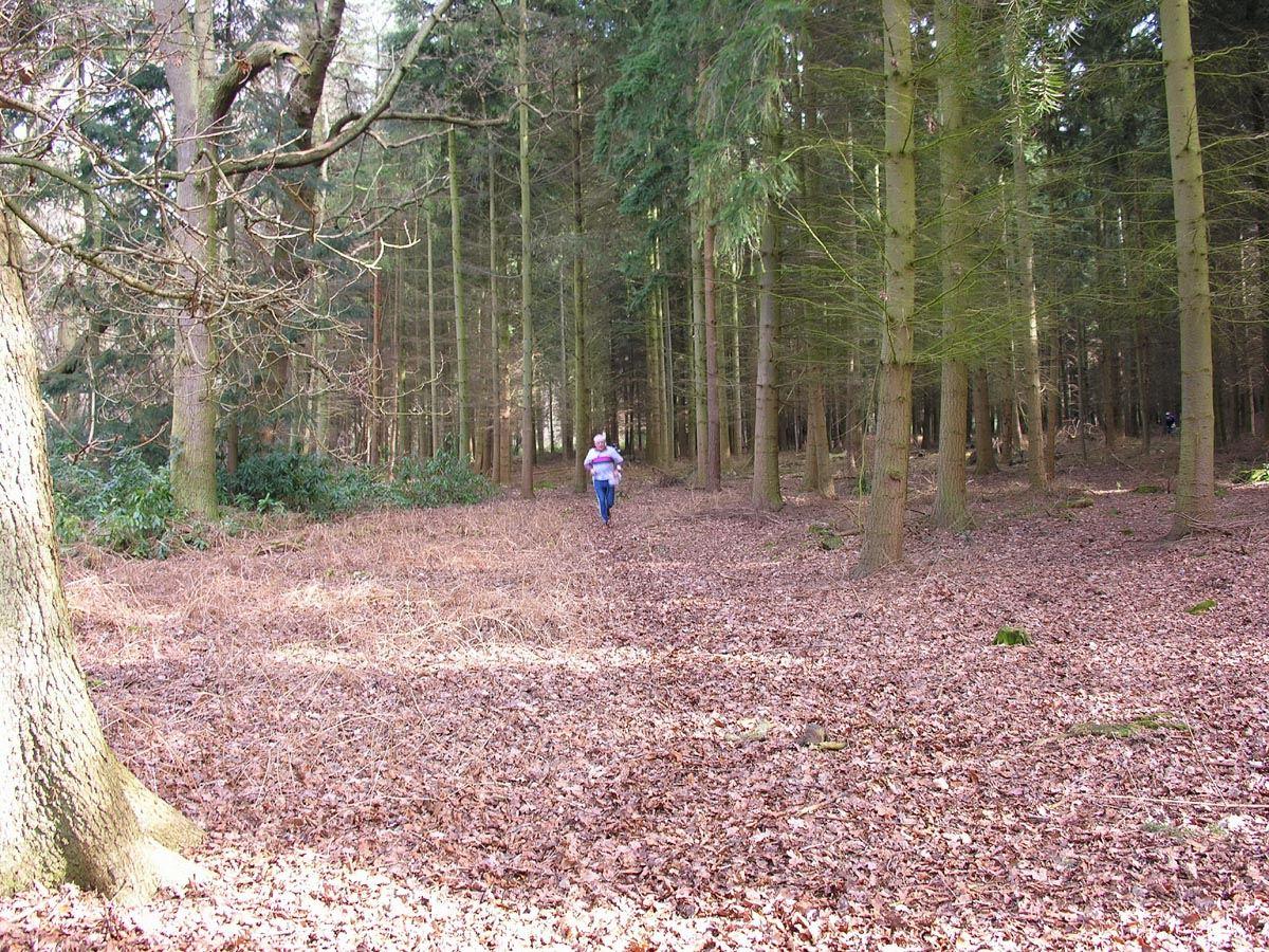
From the A149 on its western side, the mid-northern part of Sandringham rises steeply to a scenic drive, beyond which to the east is an area of mainly coniferous forest. Further north, dense rhododendrons, penetrated by only a few paths, form a barrier before reaching partially scrub-covered heathland with landform and water features. More, but generally less dense rhododendrons cross the centre of the area, and to the south of these there is a mixture of heath and woodland, some of which is well endowed with pits, depressions and knolls. There is excellent car parking, close to which are restaurant and toilet facilities.
| Sandringham | FREE |
| Sandringham | FREE |
Adventure Playground
Cafe
Shop
Toilets