Oakham Woodlands
Landowner: The Woodland Trust has given permission for these courses.
Groups: The Trust expects you to complete a risk assessment and to take care of the woodland. You should ask about any activities which might clash with yours.
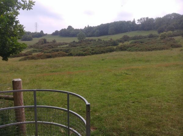
Terrain: The terrain is hillside with some woodland controls and a flatter area usually grazed by cattle (cows and bull). Some complex gorse areas on the Light Green course.
Safety: Use the safety advice sheet.
Score: the course is finding as many as you can in 40 minutes, with penalties for lateness.
Missing Plaques: none reported.
Map updated: Summer 2020 and all courses changed.
Courses
|
Course |
Controls /Length (km) |
Suitable for |
Estimated (mins) |
|---|---|---|---|
|
White |
10 /1.2 |
Beginner most children will need shadowing |
15-25 |
|
Yellow |
10 /1.7 |
A child with some experience |
15-35 |
|
Light Green |
14 /2.1 |
Confident Adult or experienced junior |
20-40 |
|
Score |
20 |
Adult or child, beginners will find some sites too hard. |
30 |
Lengths of courses shown are in straight lines between controls, and the estimate of times are for someone running to someone walking. Both will vary depending on your route choice and ability.
Feedback: Do let us know about any damaged or missing control points, please use our Feedback Form However our volunteers may not be able to remedy this quickly.
| Check Letters | FREE | |
| Light Green | FREE | |
| Maprun Light Green | FREE | |
| Maprun Yellow | FREE | |
| Safety Risk Assessment Advice | FREE | |
| Score 30 Minutes | FREE | |
| White | FREE | |
| Yellow | FREE |
| Check Letters | FREE | |
| Light Green | FREE | |
| Maprun Light Green | FREE | |
| Maprun Yellow | FREE | |
| Safety Risk Assessment Advice | FREE | |
| Score 30 Minutes | FREE | |
| White | FREE | |
| Yellow | FREE |
Currently suspended, if you would like to use any of these courses email Feedback form and we will reactivate the courses in a few days.
Use the Maprun app. Maprun app Garmin watch owners may wish to use the sister app MaprunG, or for Apple watches MaprunA, you will need a printed course map.
Your phone (watch) beeps when you get close to the feature (a virtual control detected by your GPS signal). Upload your results to see your position on the leader board.
We suggest you download a map from here but you can just use the one on your smartphone.
| Courses |
Controls /Length (km) |
Expected Time (mins) |
Suitable for |
| Yellow |
10 /1.7 |
25- 50 | Families |
| Light Green |
10 /3.4 |
35 -70 | those with some experience |
| Score | 20 | 20 |
To use the Maprun app when in the car park, start the Maprun app. Click 'Events near me' or click 'Select Event' and go to the UK/Leicestershire/Oakham folder to find the courses. Click the one you want. Click ‘go to Start’ when you are ready. When you get near the start your time begins once your phone beeps.
Beginners there are a couple of features to help you navigate: Before the start, the location and track are always shown. Once you pass the start the location and track disappear ... unless you have enabled 'show track' or 'show location'. These features can be enabled in 'Options and settings' before you start. For some courses, we had added a ‘show me’ feature. where it's available there is a button on the screen but you can only use it a few times.
Results: Results Enter a time period, Country = UK and County = Leicestershire

