High Meadow
Please note that a small part of this course is in Wales, where there may be different COVID-19 restrictions affecting whether you can visit this course.
The High Meadow woods include part of Symonds Yat, as well as the hillside to the Southwest. There are two possible starts and finishes (one close to Christchurch campsite and one close to Biblins campsite), so pick the one most convenient for you. The Biblins start is at the South end of the suspension bridge over the Wye. The Christchurch start is at the track junction by the Motiva ropes course, 200m down the road from the camp shop.
There are 3 courses available from each start/finish location: Easy, Medium and Hard. The difference is a combination of length and physical and navigational difficulty. For example, on the Easy courses, the posts will be on or close to paths, whereas on Medium they're a little further from paths and you gain from cutting through the forest, while Hard involves mostly running through the forest rather than on paths. Alternatively, use the map of "all controls" and see how many of the controls (posts) you can find.
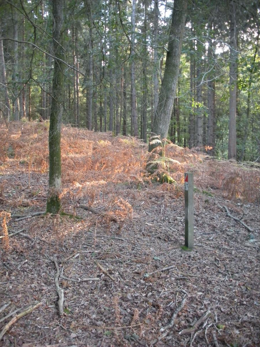
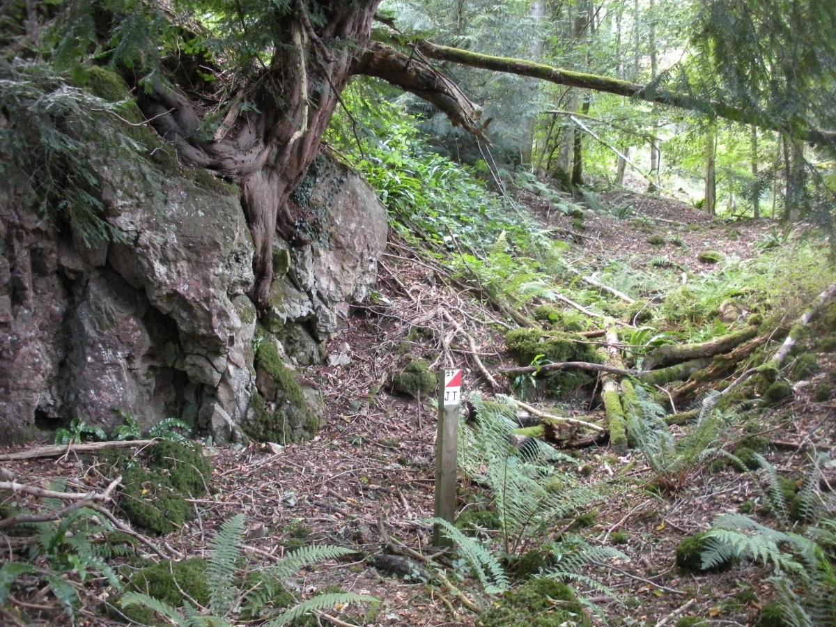
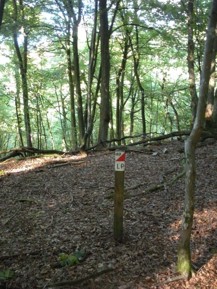
The posts were all upgraded with QR codes in April 2021 (after the photos were taken), so you can now use the free MapRun app to record your times (using either your phone/watch GPS or the QR codes), instead of needing to take a pencil and write down a letter. As well as the six courses, there are two "score" courses available here in MapRun, where you visit as many controls as you can (in any order) within the 1 or 2 hour time limit.
From here you can download:
- Full instructions excluding maps: This should explain everything you need to know and includes instructions on how to use the MapRun app to record your times using QR codes or GPS.
- A one-page "Quick Start" guide (abridged instructions)
- Maps of the courses: There's a single file of all courses or you can download them individually if you prefer.
- Map of all the controls: You'll want this one if you're going to make up your own courses or if you're doing a "score" format course (which means visiting as many controls as you can, in any order, within a set 1 or 2 hours).
- Separate sheets of just the control descriptions: These are included on the course maps, but they're also provided separately. For each course, this tells you which controls to visit (in the order you should visit them) and tells you what the control is on - e.g. path junction. These are shown as symbols but also as text descriptions, as beginners aren't expected to know the symbols.
To report problems, ask questions or for any other feedback, please contact North Gloucestershire Orienteering Club.
If you enjoy smartphone orienteering, there are plenty of other local courses, mostly without any physical posts, where you can give it a go. Most of these are around the streets and involve visiting as many points as you can in a 1-hour time limit, but there are a few other options too. For full details and to see all the places with courses, visit www.ngocweb.com/maprun.

Christchurch camp shop and Biblins youth camp may have copies of the map available, but it would be best to download from here until we can be sure they do.
You can use the free MapRun app to record your times (using either your phone/watch GPS or the QR codes). As well as the six courses, there are two "score" courses available here in MapRun, where you visit as many controls as you can (in any order) within the 1 or 2 hour time limit.
See the "Quick Start" guide (or full instructions) for how to get set up.