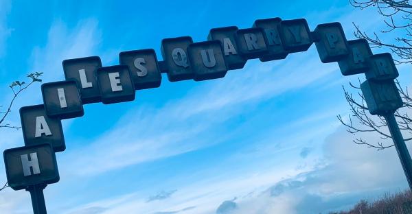
Hailes Quarry Park
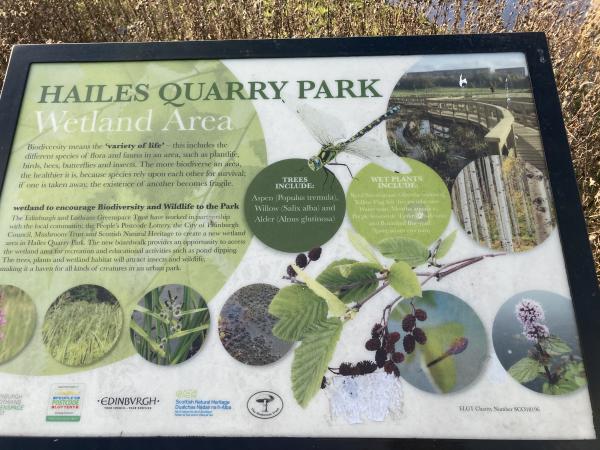
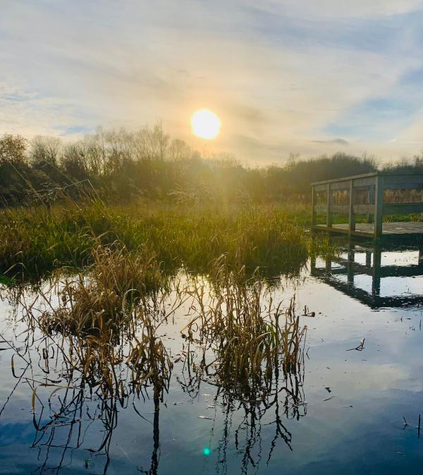
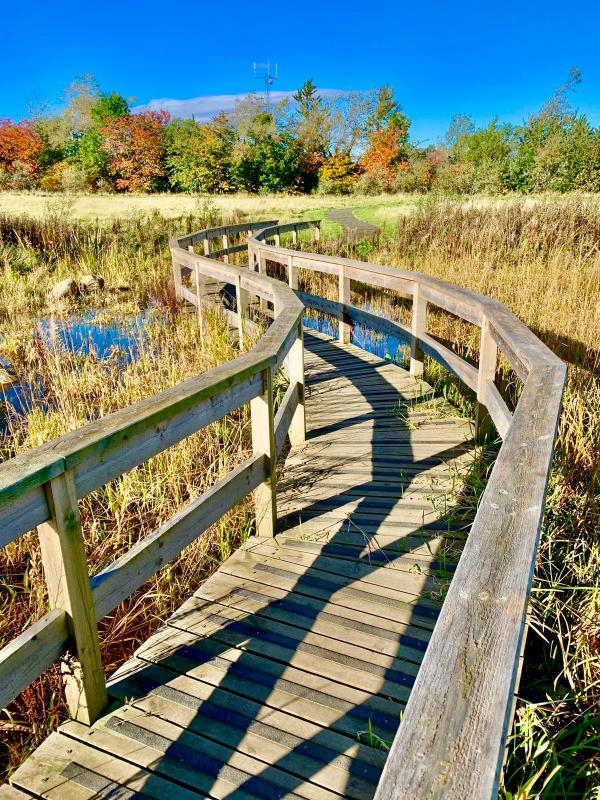
Hailes Quarry Park is managed by the City of Edinburgh Council. It lies on the north side of the Union Canal and slopes down to the north. Much of the park is rough open, with a network of grassy and tarmac paths. There are areas of shrubby woodland and a wetland with a boardwalk, as well as a play area. The map also covers the neighbouring residential development at the SE corner.
Hailes Quarry was active from 1750 to 1900 and at its peak employed 150 men, with 100,000 tons of stone being taken out each year, creating a hole 100m deep. Stone from the quarry was used for stairs and landings during the building of Edinburgh’s New Town. In the 1970s the abandoned quarry was used as a landfill site and was eventually grassed over, and converted to a park in the 1980s.
More information can be found here https://www.edinburghoutdoors.org.uk/featureDetails.php?id=57 and here https://unioncanalunlocked.org.uk/hailes-quarry.php
Terrain: Parkland with some small wooded areas
Parking: On local streets around Dumbryden Road, Longstone. Start and Finish in SE corner of park Grid Ref: NT206702 What3words:bunk.sounds.year
This is not a POC (Permanent Orienteering Course), but the following VOCs are available as Maprun courses on a mobile phone, the control sites are “virtual” ie there are no markers or ”posts on the ground”. Other VOCs may be added in the future.
Full instructions for accessing/using the MAPrun software can be found here www.scottish-orienteering.org/get-involved/pocs/
There is a 2-step process
1. On MaprunF or Maprun6 click on Select Event then navigate to UK->Scotland->Edinburgh-> Hailes Quarry and then select the Course you want (See table below). Click on Go to Start to see map on your phone
2. Download map as a PDF from the Scottish Orienteering website, link for each course in the table below. Print this off to carry with you.
|
Maprun course names |
Length |
Download Map Link |
Description |
|
Hailes Quarry Long
|
3.8km
|
This course has an urban element, visiting adjacent streets together with the park |
|
|
Hailes Quarry Short
|
2.5km
|
This course also has a few controls in the adjacent streets |
|
|
Hailes Quarry Yellow
|
1.4km
|
Pleasant easy course within the park |
|
|
Hailes Quarry Scatter
|
n/a |
Visit any or all 24 controls in any order; in the park and adjacent streets. Some routes are wheelchair friendly |
To find out more about the colour-coded course names see this A-Z Jargon buster


