Croome Park (NT)
Please check the National Trust website for opening times and prices.
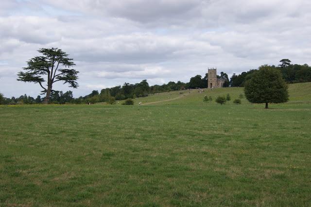
The parkland surrounding Croome Court was designed by ‘Capability’ Brown’ and has it all - a river, splendid views of the Malverns and a surprise around every corner. Explore it with an orienteering map in your hand for added enjoyment!
There are a total of 22 control points, marked by posts, for you to find. You can follow one of the three suggested courses, design your own route or simply find as many of them as you can.
The distances given are measured in a straight line between points. In practice, even if you complete the routes exactly as planned, you will travel further as you follow wiggles in paths or around obstacles.
Short, following paths - 3 km and 10 control points.
Medium, 4.3 km and 12 control points
Long, 5.1 km and 11 control points
| Permanent course | FREE | |
| Permanent course information | FREE |
| Permanent course | FREE | |
| Permanent course information | FREE |
Maps and instructions can be downloaded from this website.
Visit Croome Court, the RAF museum and the Exhibitions and Collections. Play area, toilets and canteen all on site.