COOMBE COUNTRY PARK
New Map and Courses uploaded 1st Oct 2024
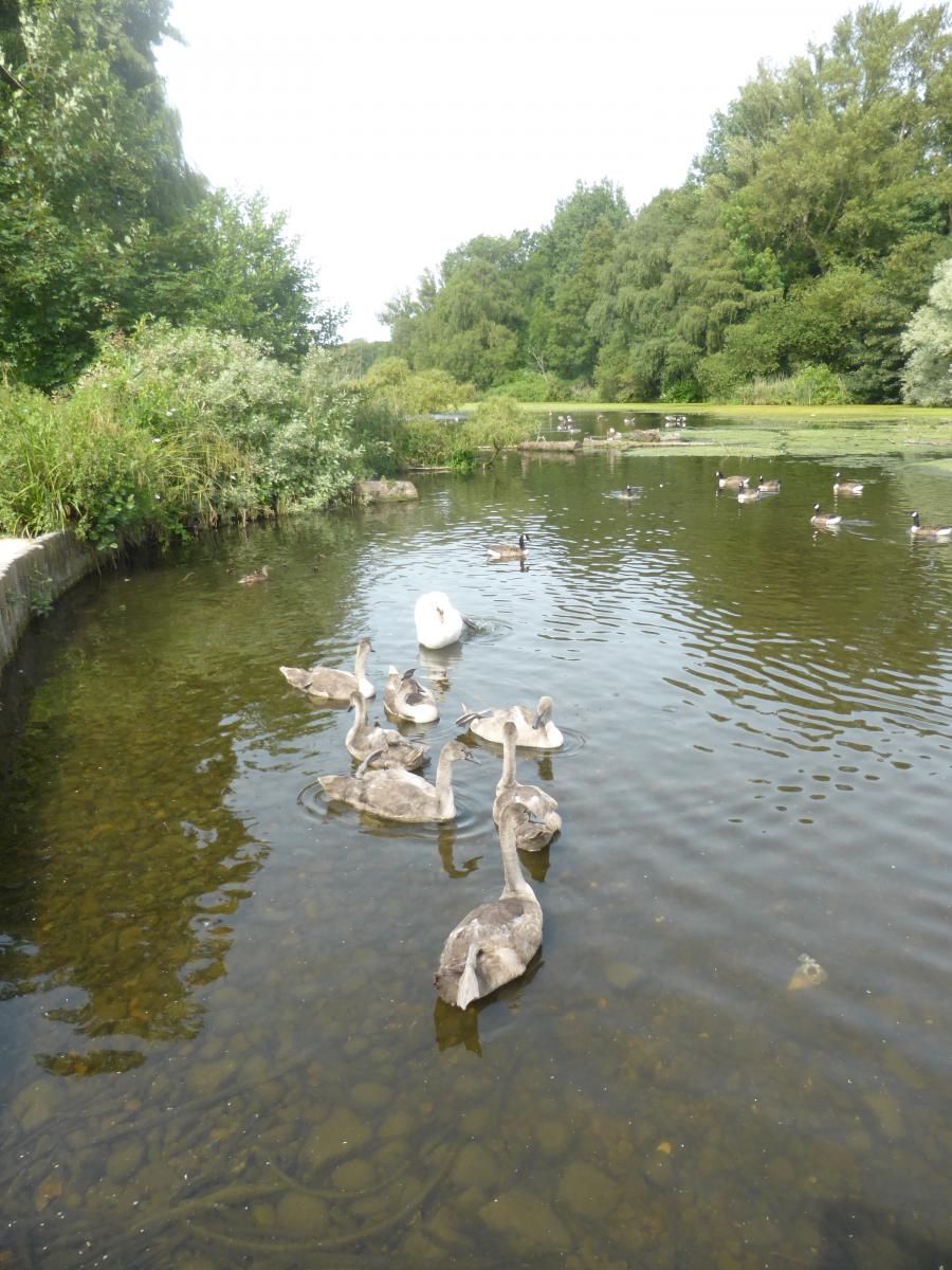
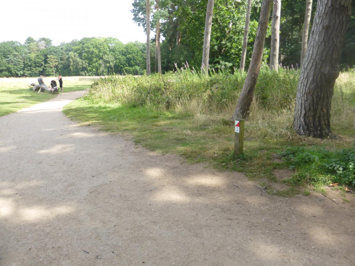
Coombe Country Park is run by Coventry City Council. It has a mixture of open grassland, runnable forest and dense undergrowth.
There are 3 suggested courses: White 1.0km Novice, Orange 2.7km Medium and Green 3.8km Difficult.
There are streams and lakes to beware of, and traffic up the main drive to a hotel and in the car parks.
There is an extensive Visitor Centre with Displays, Toilets and a Shop and Cafe.
Download the orienteering map which provides access to all the permanent courses and the MapRun virtual orienteering course.
| Coombe Country Park North 2025 | FREE |
| Coombe Country Park North 2025 | FREE |
Online at British Orienteering or from the Shop in the Visitor Centre. Cost £1
Visitor Centre
Children's Play area
The range of permanent courses can also be run using MapRunF
Full details of how to use the MapRun virtual orienteering App on your phone are shown on the club website at Tips & How It Works - Octavian Droobers - The Orienteering Club for Warwickshire, Coventry and Solihull in the West Midlands, UK (octavian-droobers.org)
Once you have downloaded the App, you will be able to access all the other MapRun virtual orienteering courses in Coventry and Warwickshire and across the country