Castlelaw
*** NOTE: Sept 2024 - Part of the area of the map is a farm which is undergoing some works including installing new fences which won't be on the map .. apologies.
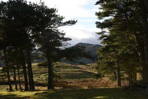
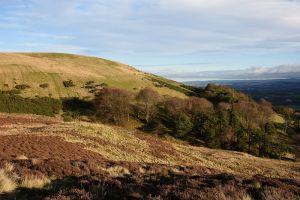
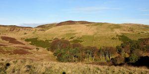
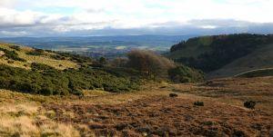
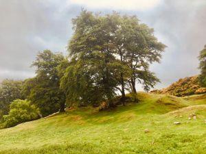
This area is on the SE side of the Pentland Hills Regional Park., near Penicuik, adjacent to the Castlelaw firing ranges. It includes the Iron Age Castlelaw hill fort and souterrain, which is in the care of Historic Environment Scotland. Most of the area is steeply sloping rough pastureland with pockets of deciduous woodland and some gorse. There are some hill tracks.
Parking: Small car park for Castlelaw Hill Fort is signed off the A702 approx 3 miles south of the Lothianburn junction on the city by-pass. Park considerately near the farm buildings. Start and Finish at Grid Ref NT230637 Waht3words:throats.torches.gobbles
Terrain
The open hillside on the Pentland Hills. contour detail, steep in parts.
Courses - see free Control description download for details
|
Course |
Controls |
Length (km) |
Climb (m) |
Course description |
Safety issues |
|
1 |
5 |
1.2 |
60 |
A simple course for beginners and families with young children |
Castlelaw is mainly on an exposed open hillside and there are some steep climbs on all courses. There may be sheep around so dogs must be kept under very close control. It is close to an MOD Training area so take care not to touch any debris or suspicious objects you may encounter |
|
2 |
8 |
1.6 |
80 |
Similar to course 1 |
|
|
3 |
8 |
2.3 |
90 |
This course needs more careful navigation and map-reading as not all the controls are on paths or other line features. |
|
|
4 |
11 |
3.3 |
150 |
This course has been planned to present a demanding physical and navigational challenge for more experienced orienteers.
|
|
|
5 |
Scatter (All controls) |
Make up your own course! |
|||
| All Controls Description | FREE | |
| All Controls Map | FREE |
| All Controls Description | FREE | |
| All Controls Map | FREE |
Maps packs (paper or digital) can be obtained by emailing ESOC. Donations will be welcome via online banking (details on request) from,
Visit Castlelaw Hill Fort.
Walking in the Pentland Hills.
Flotterstone Visitor Centre half a mile further down the A702.
The following VOCs (using the POC posts) are available as Maprun courses on a mobile phone (see table in main information panel for course details). Other VOCs will be added soon. Full instructions for accessing/using the MAPrun software can be found here www.scottish-orienteering.org/get-involved/pocs/
There is a 2-step process
1. On MaprunF or Maprun6 click on Select Event then navigate to UK->Scotland->Edinburgh->Castlelaw and then select the Course you want (See table below). Click on Go to Start to see map on your phone
2. Download map as a PDF from the Scottish Orienteering website, link for each course in the table below. Print this off to carry with you.
|


