Castle Hill - Gorse Hill
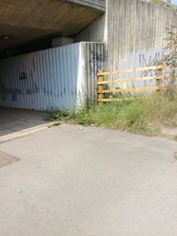
Safety: Where the courses cross the A46 you must use the tunnels or bridge. See more details on the Safety risk assessment advice sheet.
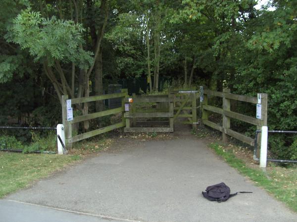
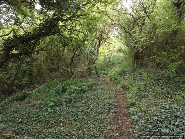
Terrain: The area is actively managed by volunteers. The minor paths and woodland change fairly regularly. The western area is part of a flood protection scheme and can be very wet and muddy.
Starting Point: There are other courses at different start points within this park. Including a 45 minute score which could be started here. Castle Hill Country Park
Missing Control Plaques: Dec 2025 26 46
Map updated: 2020 If you need a map legend download one here Legend
|
Course |
Controls /Length (km) |
Suitable for |
Estimated (mins) |
Start Point |
|---|---|---|---|---|
|
White |
7 /1.1 |
Beginner children may need to be shadowed |
12-25 |
Ancient Monument |
|
White |
13 /2.1 |
|
15-30 |
Beaumont Lodge |
|
White |
12 /1.9 |
|
15-30 |
Gorse Hill |
|
Yellow |
11 /2.5 |
A child with some experience |
20-40 |
Anstey |
|
Yellow |
12 /2.4 |
|
20-40 |
Gorse Hill |
|
Yellow |
13 /2.2 |
|
20-40 |
Heatherbrook School |
|
Orange |
10 /2.6 |
Adult beginner /confident junior |
20-40 |
Ancient Monument |
|
Green |
17 /4.0 |
Experienced Adult or Junior |
60-120 |
Gorse Hill |
|
Score |
25 |
Some sites are too difficult for beginners |
45 |
Anstey |
|
Score |
25 |
|
45 |
Heatherbrook School |
Lengths of courses shown are in straight lines between controls, and the estimate of times are for someone running to someone walking. Both will vary depending on your route choice and ability.
Feedback: Control markers do get damaged or go missing. Please let us know about any damaged or missing control points, please use our Feedback Form However our volunteers may not be able to remedy this quickly.
Currently suspended, if you would like to use any of these courses email Feedback form and we will reactive the courses in a few days.
Use the Maprun app. Maprun app Garmin watch owners may wish to use the sister app MaprunG, you will need a printed course map.
Your phone (watch) beeps when you get close to the feature (a virtual control detected by your GPS signal). Upload your results to see your position on the leader board.
We suggest you download a map from here but you can just use the one on your smartphone.
Map Updated: August 2020 and November 2020 for Maprun courses
| Course |
Controls Length (km) |
Suitable for /comment |
Expected Time (mins) | Hazards | Results |
| Maprun Green |
15 /4.0 |
With some orienteering experience /90% parkland |
35 to 70 | Dual carriageway, water courses and ponds | Green |
|
Maprun Urban Blue |
16 /5.6 |
With some orienteering experience /50% urban 50% parkland paths |
40 to 75 | Dual carriageway, water courses and ponds | Blue |
| Sprint 1 |
10 /2.4 |
With some orienteering experience /Normally take break before doing Sprint 2 |
15-35 | Traffic | |
| Sprint 2 |
10 /2.4 |
With some orienteering experience | 15-35 | Traffic | |
| Sprint A |
8 /1.8 |
With some orienteering experience /Normally take break before doing Sprint B |
10-30 | Traffic | |
| Sprint B |
8 /1.8 |
With some orienteering experience | 10-30 | Traffic |
Control Descriptions: IOF descriptions are used if you need help download an instruction sheet. IOF sheet
To use the Maprun app when in the car park, start the MaprunF app. If you are at the site or are close by, click 'Events near me' or at home, click 'Select Event' and go to the UK/Leicestershire/Castle Hill folder to find the courses. Click the one you want. Click ‘go to Start’ when you are ready. When you get near the start your time begins once your phone beeps.
Results: Results Enter a time period, Country = UK and County = Leicestershire
Feedback: Control markers do get damaged or go missing. Do let us know about any damaged or missing control points, please use our Feedback Form


